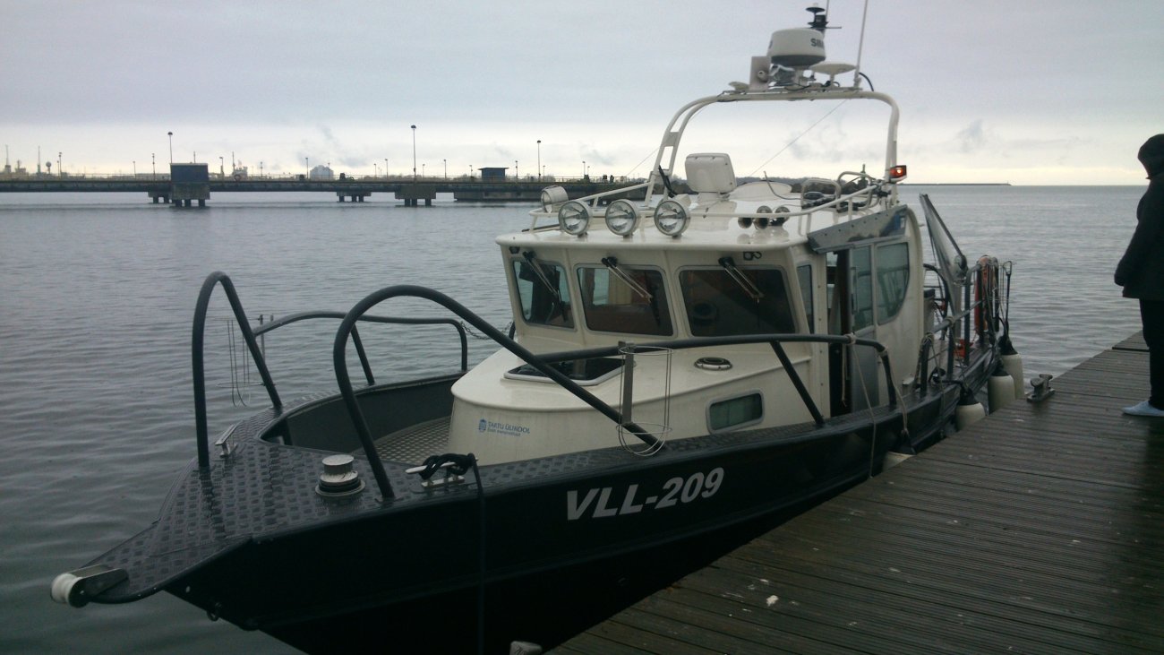
laev AluDevil vööris oleva sonariga_LTMI
Author:
Eesti Mereinstituut

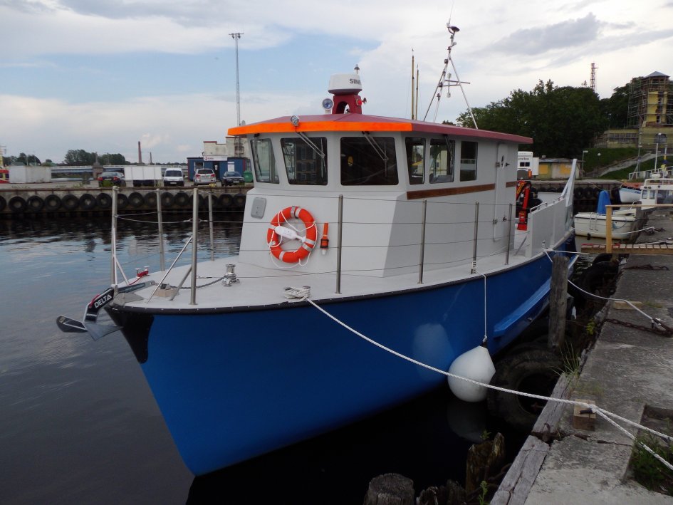
The Estonian Marine Institute has four bigger marine research vessels. Lengths range from 10 to 15 meters.
Contact: Teemar Püss (Mob: +372 580 53985)
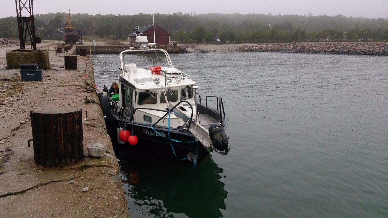
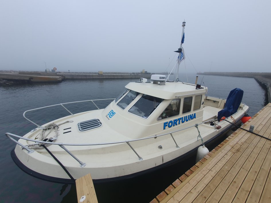
Registration number: VLL-209
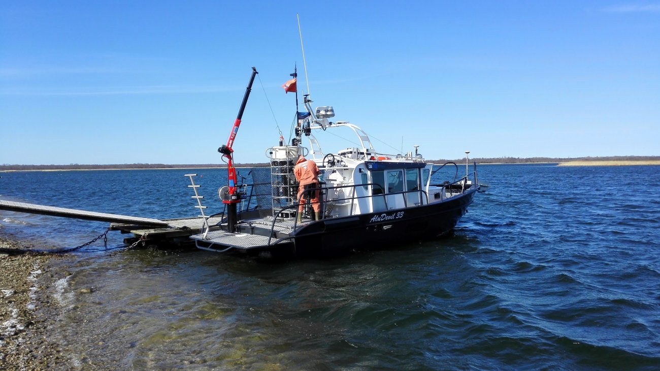
Length/width/draft (m): 10.3/3.3/0.65
Crew/scientists: 2/4
Construction year: 2012
Home port: Tallinn, Pirita
Purpose of use: water monitoring, and research in the Baltic Sea; sonar mapping (Reson SeaBat 7101-Flow and Simrad EK80)
Captain: Taavi Lille (Pärnu; taavi.lille@ut.ee)
Length/width/draft (m): 15/4.3/1
Crew/scientists: 2/6
Construction year: 2014
Home port: Pärnu
Purpose of use: ichthyological, and fisheries research and coastal sea monitoring; sonar mapping
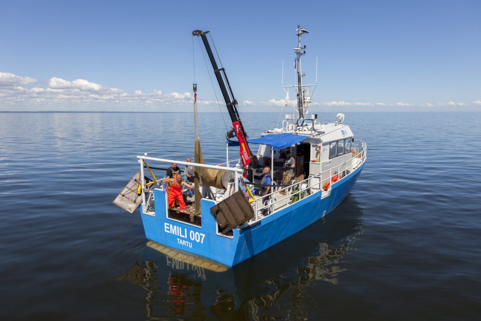
Captain: Taavi Lille (Pärnu; taavi.lille@ut.ee)
Length/width/draft (m): 15/4.2/1.2
Crew/scientists: 2/6
Construction year: 2014
Home port: Kallaste, s/b (stand by): Praaga
Purpose of use: fish stock research, trawling and mullet fishing on Lake Peipus and Lake Lämmijärv
Captain: Taavi Lille (Pärnu; taavi.lille@ut.ee)
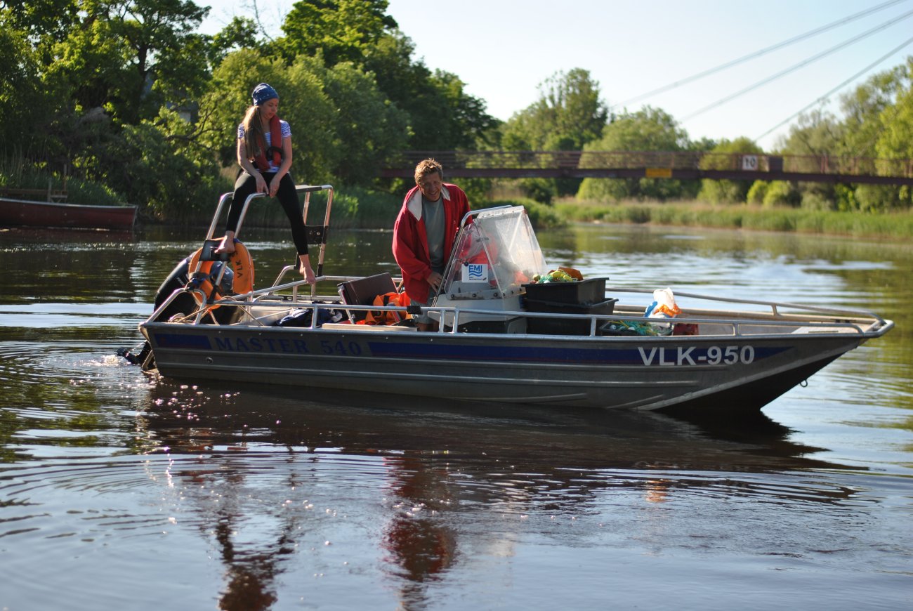
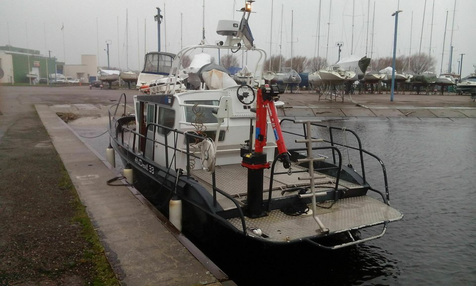
Length/width/draft (m): 10.35/3.4/1.0
Port height: 2 m
Model: Kulkuri 34
Crew/scientists: 1/7
Construction year: 2003
Home port: Pärnu
Purpose of use: multipurpose, crane, sonar mapping
Captain: Taavi Lille (taavi.lille@ut.ee)
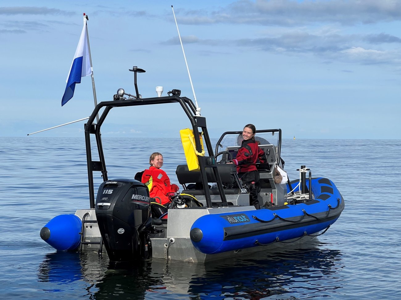
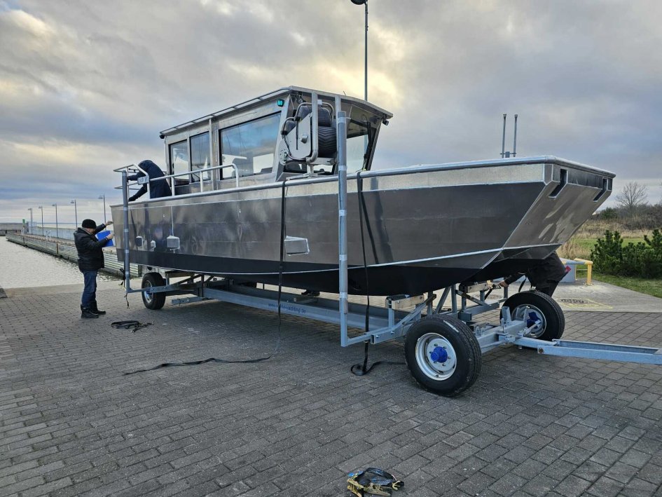
Length/width/draft (m): 8,8/3,2/0,48
Operation speed: 20-25 kn
Construction year: 2024
Home port: Pärnu
Purpose of use: multipurpose, sonar mapping (Simrad EK80 broadband split-beam)
In addition to the research vessels mentioned above there are several smaller 3-8 meter RIBs, and aluminium workboats.
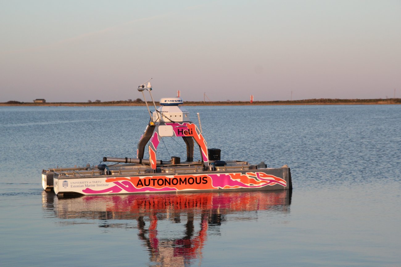
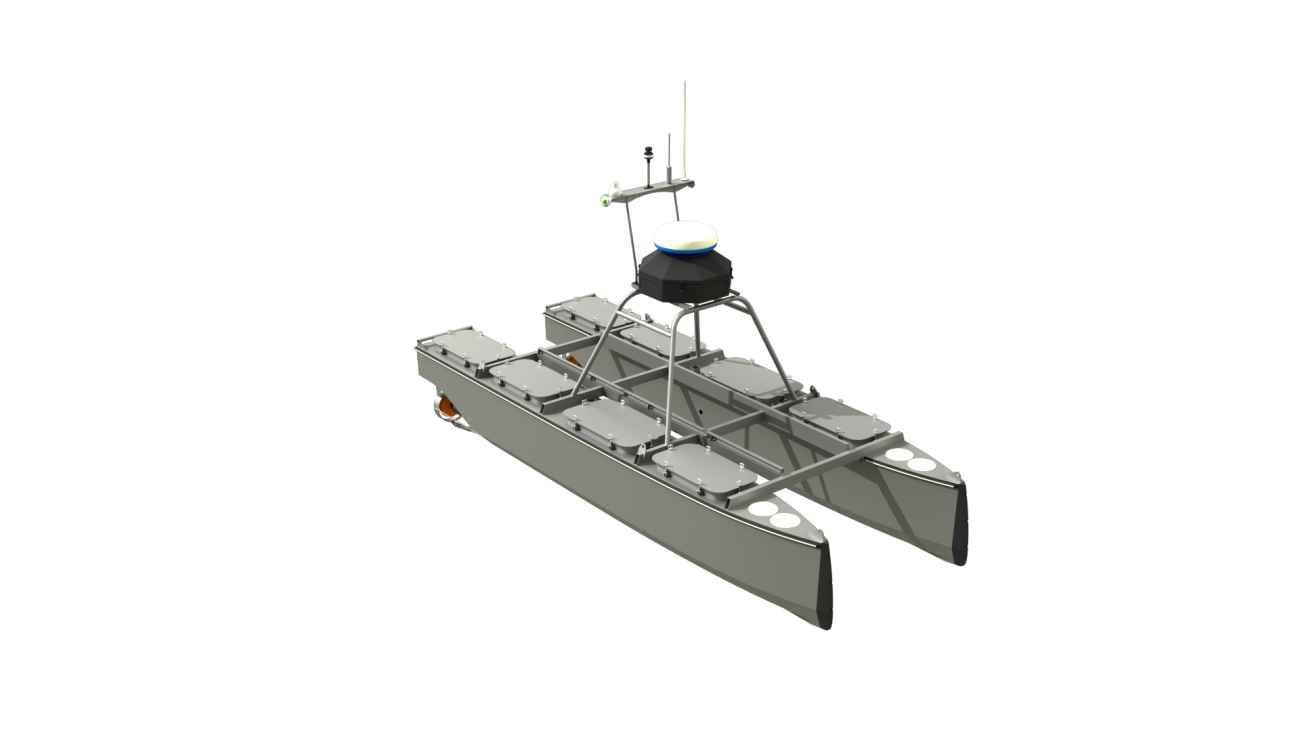
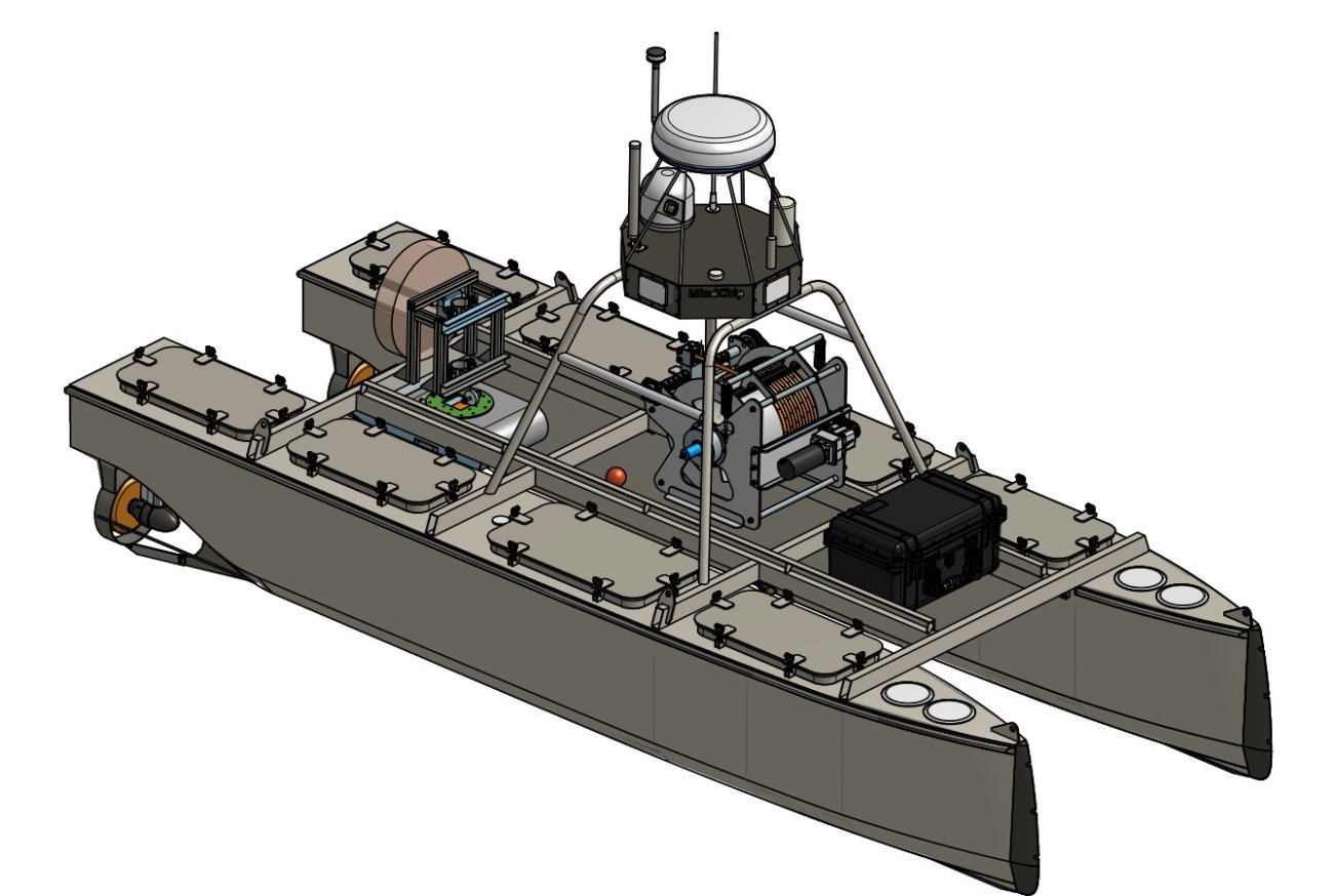
Estonian Marine Institute's unmanned self-navigating vessel "Heli" (constructed in 2023) is able to navigate long distances according to the pre-planned trajectory and/or directions received by network connection. The vessel is able to record and/or transfer live data about the position and parameters of fish schools. The vessel can be used for scientific research as a cost-effective solution for tracking and estimating fish school parameters and in principle also to direct commercial fishery. The vessel will substantially decrease the economic and environmental cost of commercial fishery and fisheries research as well as general safety at sea.
Length/width/draft (m): 6.2/2.5/0.4
Max speed: 7 kn
Operation speed: 3 kn
Operation range: 162 Nm (300 km)
Connectivity: 5G, 4G, 433 MHz, WIFI, AIS, satellite
Sensors: radar, camera, magnetometer, anemometer, gyroscope, sonar
Safety equipment: AIS, radar reflector, navigation lights
Contact: Elor Sepp (Mob: +372 521 7789; elor.sepp@ut.ee)
References: